So, what exactly is a Land Survey?
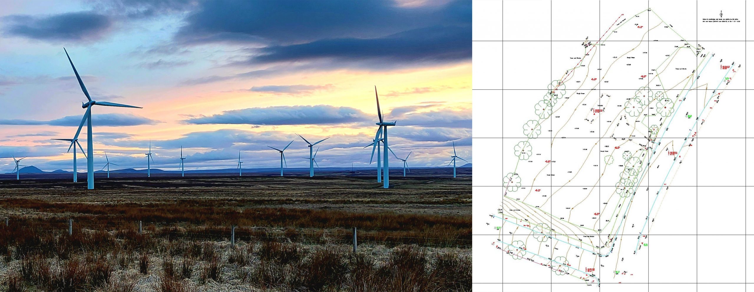
- A Topographic Survey or a Topo Survey is a type of survey that maps both natural and unnatural features. Together with contours showing how the elevation changes throughout the land. The purpose of a Topographic Survey is to accurately produce a 3D drawing or map of a section of land showing you the position of roads, walls, trees, fences, utility covers and of course buildings.
- A Hydrographic Survey is essentially the same, just underwater where you can't see what is there. This is usually done using sonar, either single point or multibeam, from a boat or a water based drone.
- Engineering Surveys are required wherever you are setting out high accuracy buildings and structures such as bridges.
- Volume/Cut Fill Surveys can be used to calculate how much material exists on site. Based on this you can import or export material in order to achieve the desired outcome.
- Dimensional Control Surveys are used to precisely install control points exactly where you want them. We can then precisely survey them to ensure that they are mapped extremely accurately.
So why carry out these surveys?
The above surveys are all essential in any engineering or construction project. They are also used for site planning, flood risk analysis, drainage analysis, environmental studies to name but a few.
At ORC Geomatics we use high precision robotic theodolites known as Total Stations together with the latest GPS Receivers, now known as GNSS Receivers. Together with Laser Scanners, Drones, and even the traditional tape measure, all the tools in the box are used to provide you with the most accurate survey possible, as quickly as possible and within whatever budget you may have.
You will receive your drawing in whichever format you require, traditionally this has always been AutoCAD but we also provide these drawings in other formats including pdf's.